Fact-checked 22 July 2026.
Alcantara is a river, not scenery with fixed opening hours
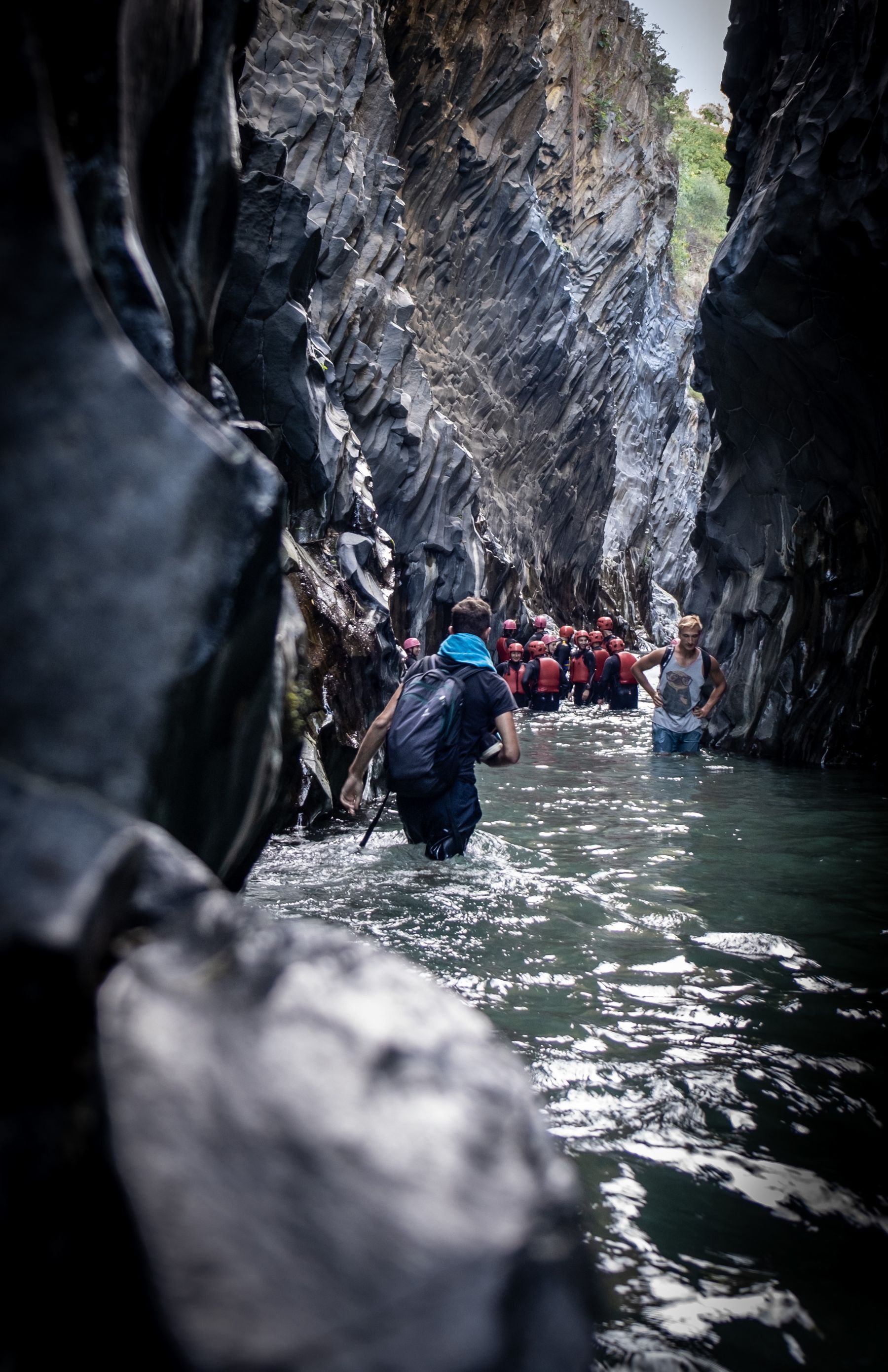
The most circulated images of Gole dell'Alcantara show people in shallow water between near-vertical basalt walls. The image is genuine but conceals three facts. The gorge is one short section of a river system about 50 kilometres long. Access to the riverbed depends on water, weather and local restrictions. And the familiar entrance area contains both a free municipal staircase and a private visitor facility offering separate access and activities. Many confusing online descriptions merge the two systems.
A good visit begins with a choice. Do you want to see the principal gorge briefly from river level, walk a longer valley trail, or purchase an organised water activity? A family with small children, a strong hiker and a traveller with reduced mobility need different plans. This guide separates the options and places the gorge within the landscape the river created among the Nebrodi, Peloritani and Etna.
Geology: columnar basalt is movement frozen in stone
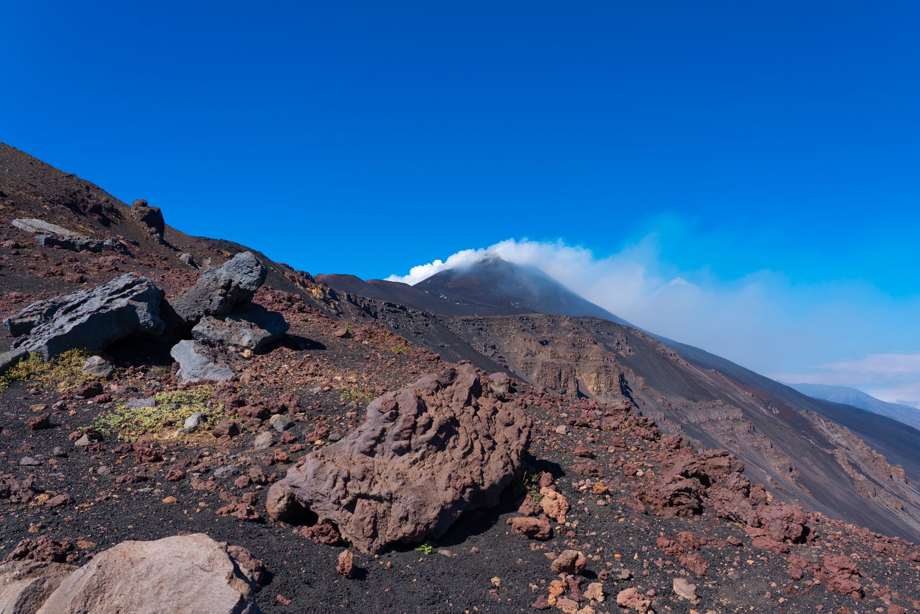
The Alcantara catchment covers approximately 573 square kilometres. The river rises in the eastern Nebrodi and flows to the Ionian Sea through a zone where the Apennine geology of the Nebrodi and Peloritani meets Etna's volcanic domain. Surface water is joined by springs associated with the volcano's lava cover. The official park consequently describes the Alcantara as a perennial river, a significant characteristic in Sicily.
The Larderia gorge formed where lava moved through an earlier river channel and cooled. As a relatively uniform basalt mass loses heat, it contracts. Fractures develop perpendicular to cooling surfaces and can produce polygonal columns, commonly five- or six-sided. Later erosion exposed the structure. The walls contain arrangements described locally as organ pipes, fans, harps and woodpiles. They were not cut by people and were not created instantaneously by the present river alone.
Parco Fluviale dell'Alcantara states that the best-known gorge extends about 400 metres, narrows to only a few metres and has walls reaching roughly 50 metres. These dimensions describe the formation, not a guaranteed 400-metre walking route. How far a person can safely move in the water depends on current, depth, temperature, equipment and rules on the day.
The name and the human valley
“Alcantara” is linked to Arabic al-qantarah, the bridge. The official park records several historical names from Greek, Roman and medieval sources. Those changes show a river that served as boundary, water resource and line of orientation. The valley includes Calatabiano, Gaggi, Motta Camastra, Francavilla di Sicilia, Castiglione di Sicilia, Mojo Alcantara and Randazzo, connecting coastal trade with mountain agriculture.
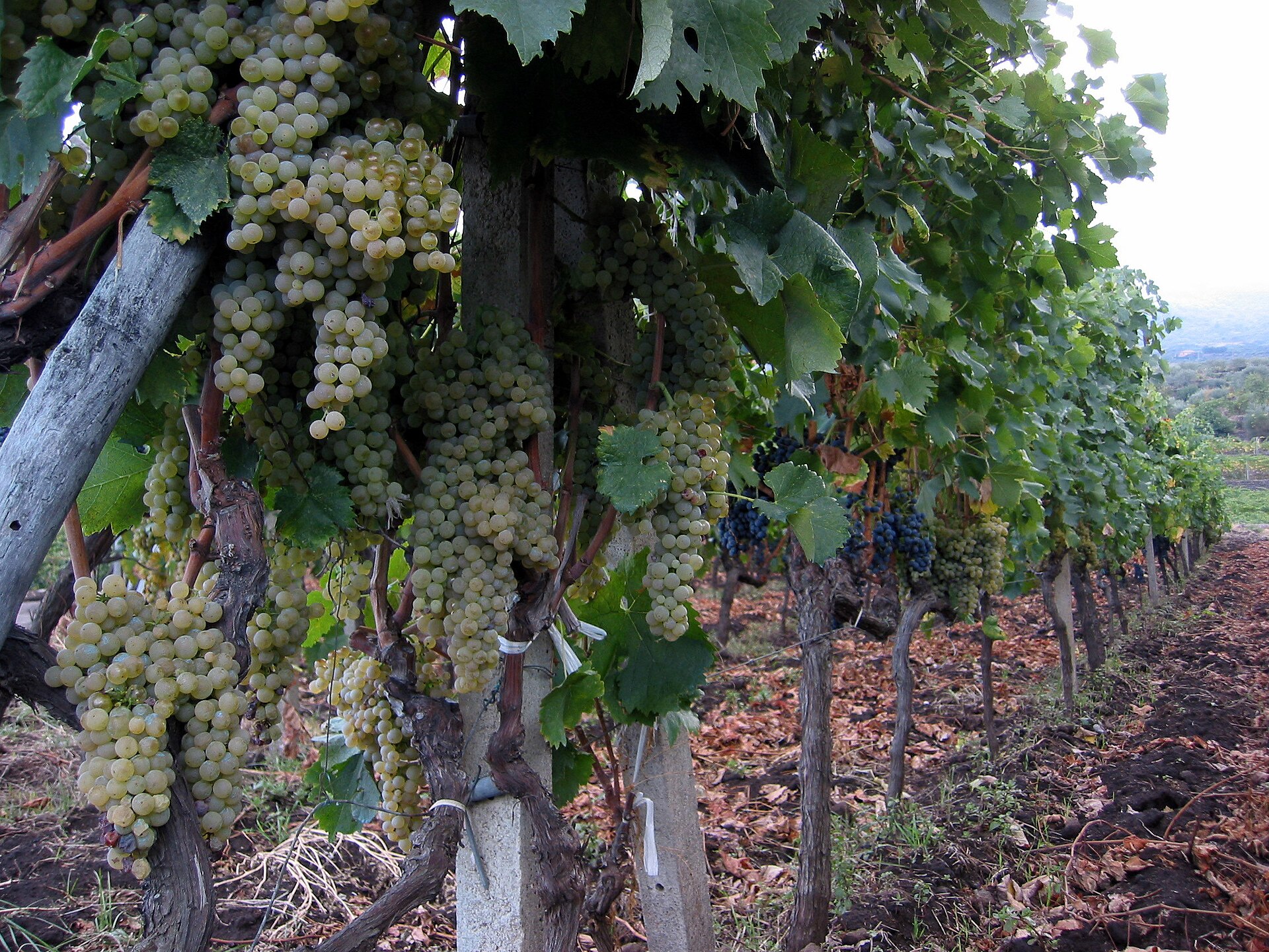
Water supported fields, mills, gardens and settlements, while Etna's slopes contribute springs and wine landscapes. Tourism at the main gorge is only the most recent economy. Continue beyond the parking zone and the distinction is clear: the valley is also about walnuts, vines, olives, livestock, woodland and ordinary municipal infrastructure. Responsible visitors do not use private fields as shortcuts or picnic grounds.
The two entrances to the main gorge
The municipal staircase
The river park describes a public staircase established by Motta Camastra opposite the visitor information point. An official park publication records 224 steps and about 29 metres of descent, from 200 to 171 metres above sea level. Use of the staircase itself is free. It is not wheelchair accessible and can challenge people with knee, balance or cardiac limitations, particularly during a hot ascent.
“Free entry” does not mean that parking, optional equipment or other services are free. Nor does it mean the river is always open or safe. Signs, barriers and staff instructions override any article. Do not pass a closure because others do. At river level, stone is wet and slippery, while water can be cold and forceful.
The private visitor entrance
A private operator beside the public route runs a larger visitor facility with lift, paths, hire and paid activities. Products and prices change by season. Compare the current ticket with what you need: a visitor with mobility limitations may value the lift, while a fit adult wanting only the river might choose the municipal steps. A water activity is separate from basic entry.
Avoid purchasing through an unverified intermediary without knowing operator, insurance, equipment and cancellation terms. Body rafting, canyoning and longer movement within the gorge require a qualified local operator, suitable neoprene, helmet and activity-specific instruction. Seeing other people in the water does not prove the same route is safe unguided.
Which visit fits?
| Visit type | Time | Suitable for | Main constraint |
|---|---|---|---|
| View and riverbank | 1–2 hours | First visit, short day | Steps, slippery rock, current access |
| Main gorge with paid access | 2–3 hours | Visitors wanting a lift or guided activity | Prices and terms vary |
| Official valley trail | Half day | Hikers and naturalists | Heat, navigation and maintenance |
| Guided water activity | Half day | Active, competent swimmers | Water, age, health and operator rules |
| Gorge and town | Full day | Drivers interested in culture | Winding roads and opening hours |
Water, weather and safety
Why the water feels cold
The Alcantara receives water from mountain territory, rain and springs linked with volcanic layers. Even on a hot day it can feel markedly colder than the sea. Cold reduces control and endurance, especially among children and people unused to moving water. Enter gradually, leave before shaking or numbness, and use neoprene when an organised activity recommends it.
Current matters more than appearance
Clear, shallow water can still move a foot on slick rock. Do not enter a narrow passage alone. Wear closed-heel footwear with grip; loose flip-flops do not protect. Keep hands free and secure phone and keys in a waterproof container. Pool swimming and safe river movement are different skills.
Rain upstream changes local conditions
A river responds to more than weather over the car park. Rain in the catchment can raise flow, and intense Sicilian showers can develop quickly. Italy's Protezione Civile warns that flood water can rise abruptly and advises leaving channels, bridges and low ground. Cancel or replace the gorge visit when thunderstorms or heavy rain are forecast.
Check regional alerts and the park's civil-protection notices. After an event, wait for an official reopening. A paid reservation never justifies ignoring a warning.
Heat and fire risk on trails
Although the water is cold, trails and parking can be extremely hot. Start early, carry at least one litre per adult for a short visit and more when hiking, and wear a hat. Smoking and flames are reckless in dry vegetation. Natural areas may be restricted during severe fire danger. Choose villages or coast when hiking is not responsible.
Families, access and equipment
Children can have a strong nature experience here, but “family-friendly” depends on age, swimming, current and entrance. A child can observe basalt and play at a safe shallow edge without entering the narrow gorge. Use a buoyancy aid when required, and accept an operator's age and height limits. Do not carry a small child across slick rocks where one fall takes both people down.
The municipal staircase is documented as inaccessible to wheelchairs. The private facility promotes easier vertical access, which does not mean the riverbank itself is level or fully accessible. Contact it with specific questions about wheelchair, companion, toilets, gradients and the current endpoint. A lift and an accessible nature experience are not identical.
For an ordinary summer visit, pack closed-heel water shoes, dry shoes, small towel, drinking water, sun protection, a light extra layer, waterproof pouch and basic first aid. Do not take large inflatable objects into current. Longer trails require an offline map, charged phone and more water. Leave no valuables visible in the car.
Beyond the main gorge
Le Gurne from Francavilla di Sicilia
The official park describes an easy trail of about 1.5 kilometres with nine viewpoints from Francavilla. It connects vegetation with ruins, archaeology, historical water channels and the pools known as gurne. This is a useful alternative when the main entrance is crowded, but “easy” does not remove heat or maintenance concerns. Ask the park or municipality for same-day status.
Sentiero Gole di Larderia
The park's Larderia trail begins at Ponte di Mitogio and has several connections, allowing distance and direction to vary. It crosses cultivated land and woodland, often near the river, and can reach the main gorge area. Multiple junctions make a map more important than on the short riverbank visit. Read the official route description and do not assume every branch is clearly signed.
Motta Camastra
Motta Camastra occupies the rock above the valley. A short walk through town provides views and shows how settlement adapted to defence and terrain. Walnuts are a known local product and an annual event is tied to harvest, but dates and programme need municipal confirmation. Park without obstructing narrow streets; the final centre is best on foot.
Francavilla and Castiglione di Sicilia
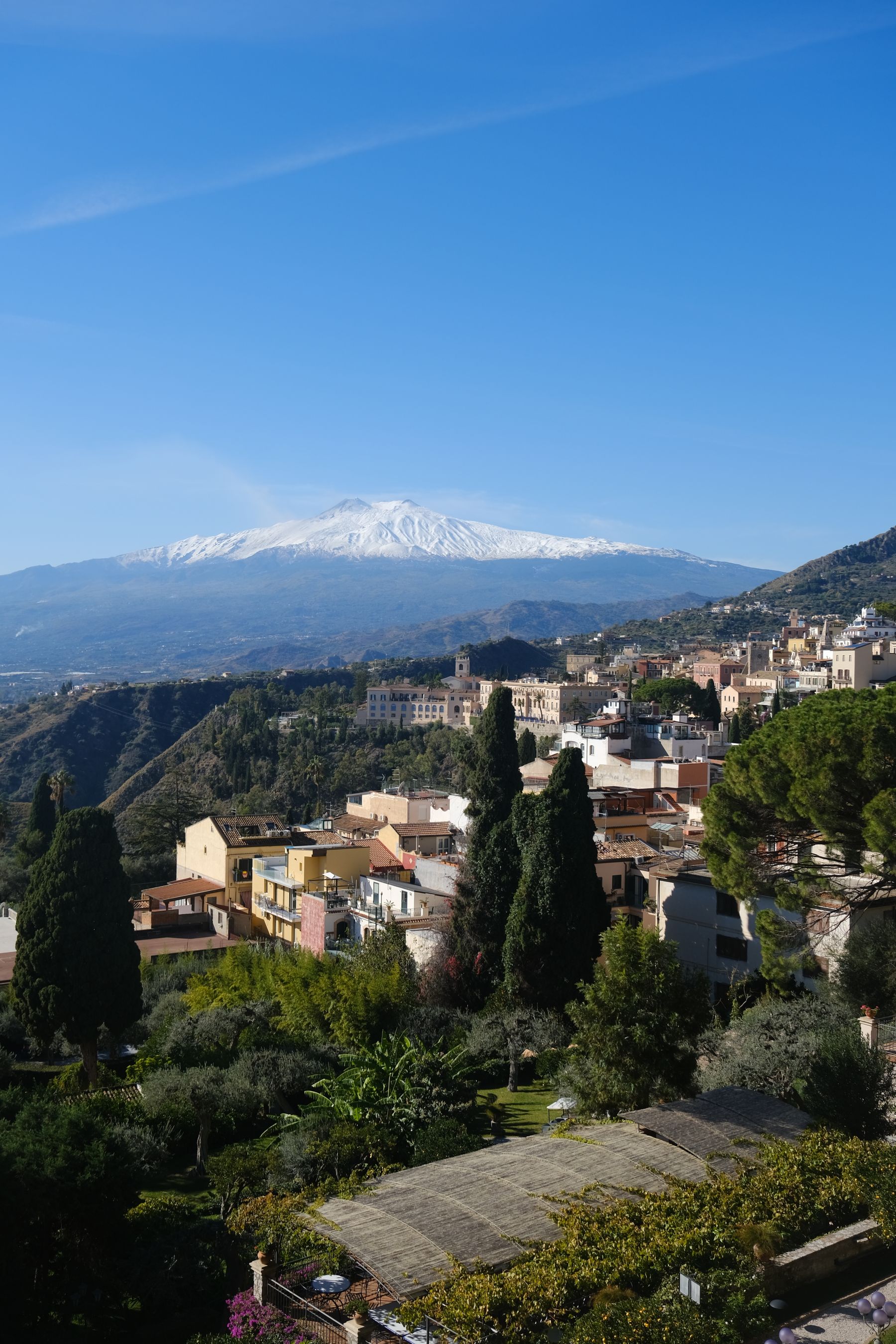
Francavilla is the park's administrative centre and useful for trails and valley history. Castiglione stands higher towards Etna's northern slopes, with medieval street structure, churches and wine country. Together they make Alcantara more than a water stop. Reserve winery visits and keep a driver alcohol-free. Small-town services can be limited in winter and during the midday closure.
Mojo Alcantara and its small volcanic cone
A small cone with black-red pyroclastic layers rises near Mojo Alcantara. It provides another view of volcanic geology beyond polished basalt walls. This is a stop for people interested in how the landscape formed, not a miniature Etna summit. Use official trails and respect agriculture around the base.
Getting to Alcantara
From the coast, drivers commonly use the A18 to the Giardini Naxos area and then SS185 towards Francavilla. From Giarre, the Fiumefreddo exit may suit the destination and traffic. Mountain and valley roads require patience around bends, cyclists and villages. Allow more time than a kilometre calculation and never drive after a substantial tasting.
The official park lists bus operators and connections, but public transport is less flexible than a car when combining gorge, trail and town. Schedules may be seasonal. Use the operator's live search and plan the return before leaving. The Circumetnea railway through other parts of Etna and valley country is an experience, but not a direct substitute for transport to the main entrance.
From Casa Parisi, Alcantara forms a natural day with one valley town, while Giardini Naxos can provide a late swim. Read our Giardini Naxos guide. Do not combine the gorge, Taormina theatre, Etna cable car and Syracuse in one day. Our eastern Sicily guide arranges them into realistic clusters.
Season changes the experience
In July and August, early arrival matters for parking, heat and river space. The main entrance can feel like a busy attraction even when the valley is calm nearby. May, June, September and early October can make water activities and walking easier to combine, but actual flow and weather matter more than calendar. Spring can bring stronger current, while autumn downpours create sudden changes.
Winter reveals basalt, vegetation and villages without summer crowds, but entering the river is not the natural objective and facilities or tours may be limited. Use the season for views, geology and valley food. See our best time to visit Sicily guide for the broader seasonal trade-offs.
The valley's tourism paradox
The main gorge is marketed as one icon, while the river park protects an ecosystem and coordinates many municipalities. Concentrated visits can finance work and local jobs while pressuring parking, waste, water edges and emergency response. The private entrance can organise easier access, while the municipal staircase preserves free entry. They need not be framed as moral opposites; they serve different needs when information is clear.
Visitors reduce pressure by arriving early, following closures, removing waste, using local businesses and adding a town or official trail. The answer is not an illegal “secret” entrance. Erosion, private land and rescue access make shortcuts damaging to nature and residents.
Official sources
Geology, dimensions, municipalities and routes were checked with the Ente Parco Fluviale dell'Alcantara, including its pages on the main gorge, geology, trails and transport. Heavy-rain and flood safety was checked with Italy's Protezione Civile. Private activity prices are not reproduced because they change; verify them directly with the operator.
Conclusion: let the river set the day
Alcantara Gorge becomes more interesting when it is not reduced to a quick image between black walls. Basalt records Etna's lava, the river connects the Nebrodi and Peloritani, and towns demonstrate centuries of working with water and land. Choose access according to physical needs, move only as far as conditions and equipment permit, and spend the remaining day in the valley. The correct plan does not conquer the river; it can change when the river changes.